How it works · Live conditions
Pick your Adventure — select an activity below to see how it scores
5–8 separate sites. Conflicting readings. No single source of truth.
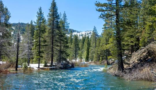
What's ideal for a kayaker is dangerous for a swimmer. The data exists — the translation doesn't.
No rental shop, outfitter, or guide service — on one screen. Just more searching.
All to answer one basic question
Always current — synced from thousands of federal monitoring stations as data becomes available.
NOAA · USGS · NWS · NRCSKayak, raft, SUP, tube, swim, fish — each adventure gets its own custom rating.
Kayak · Raft · SUP · Tube · Swim · FishActionable information presented in a way that's easy to understand for any experience level.
Score · Trend · 7-day · Best windowFlood warnings and gauge spikes — only for your saved locations. No noise.
Flash flood · Gauge spike · Safety advisoryDiscover local rental shops, outfitters, and guided tours matched to your activity — so you have the right gear and expertise for a safe adventure.
Rentals · Guided tours · OutfittersBeta opens Q3 2026. Waitlist members get priority access, and a direct line to the team.
By joining you agree to receive updates about AquaTrails. No spam, ever. (Unless it's for musubi)